
3D Laser Scanning Services
for AECO Applications
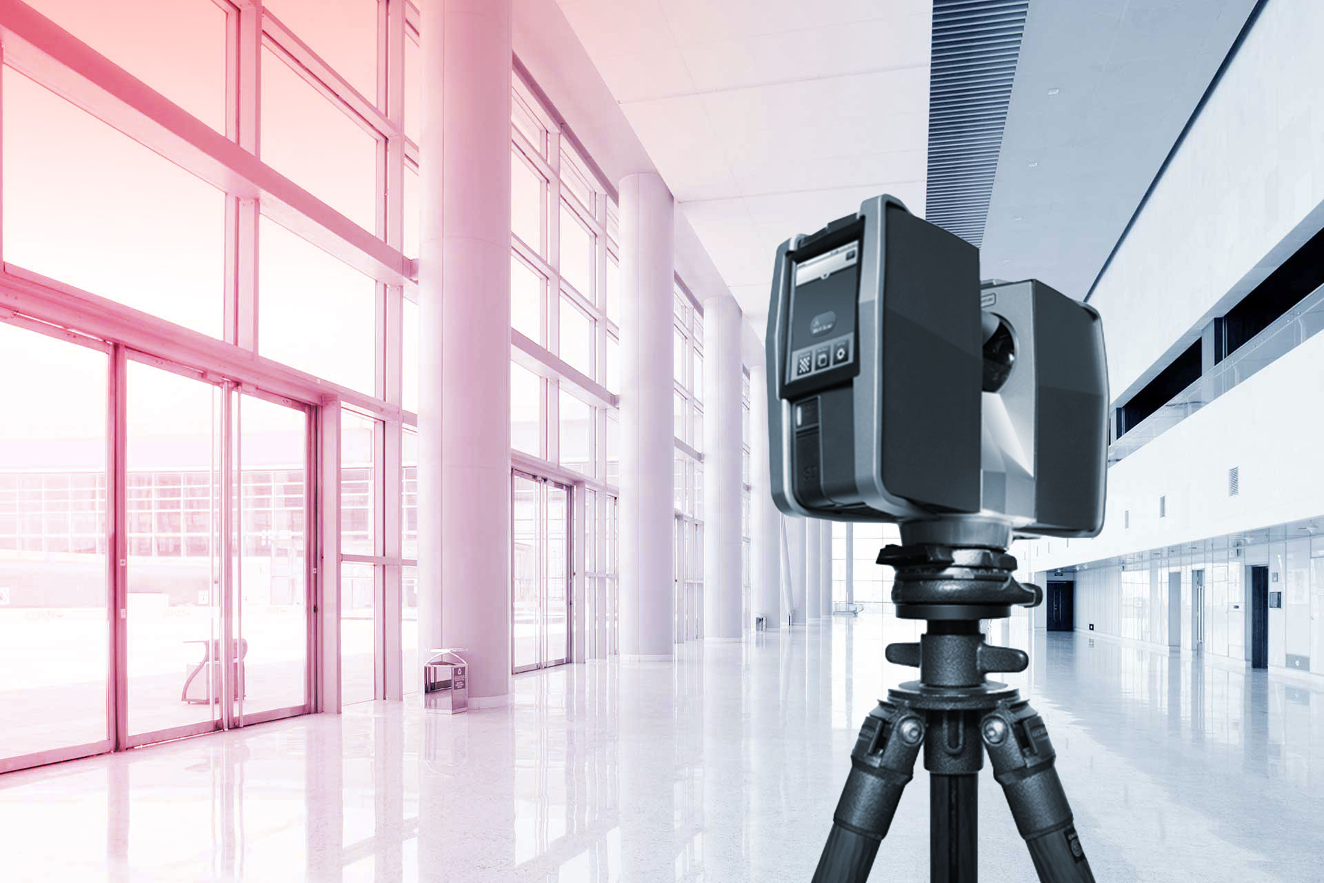
High accuracy mobile and/or stationary laser scans of your facility output to industry standard point cloud formats. Take control of the scan data yourself, or supercharge your output with our Scan-to-BIM/CAD deliverables, custom-made to your specifications. We specialize in LIDAR scanning and Scan-to-BIM for Architecture, Engineering, Construction, and Operations (AECO). Ensure your project is built on a sturdy foundation of site-verified measured data.

Scan Only
If you already know your way around point clouds, or you want to start leveraging these powerful datasets for yourself, our scan-only service is for you. We capture the property and supply high definition point clouds in RCS/RCP, E57, or LAS. Enjoy the confidence of working with high precision scan data inside your CAD/BIM workspace.
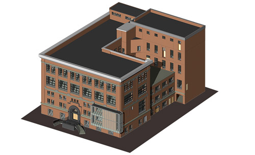
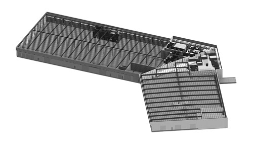
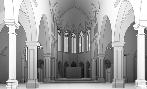
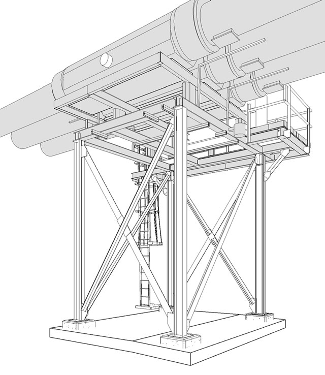
Scan + BIM/CAD
We prepare high accuracy as-built models and drawings of building structure, architecture, MEP, and equipment so you can focus on project design and execution. We carefully reference the laser scanned point cloud to develop precise BIM and CAD deliverables for Revit, AutoCAD, and other popular AEC applications.
Our Technology Partners...


Point Clouds / Scan Data
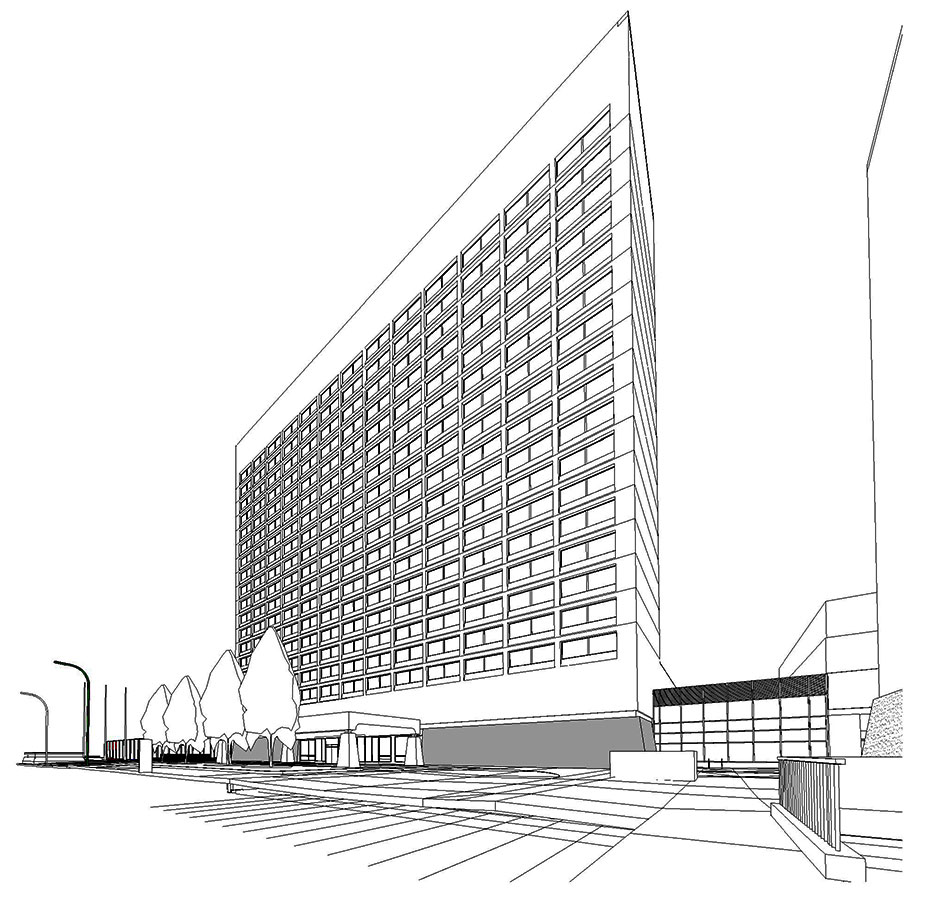
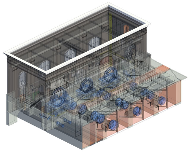
As-Built Revit & CAD Samples
-
 Commercial Real Estate
-
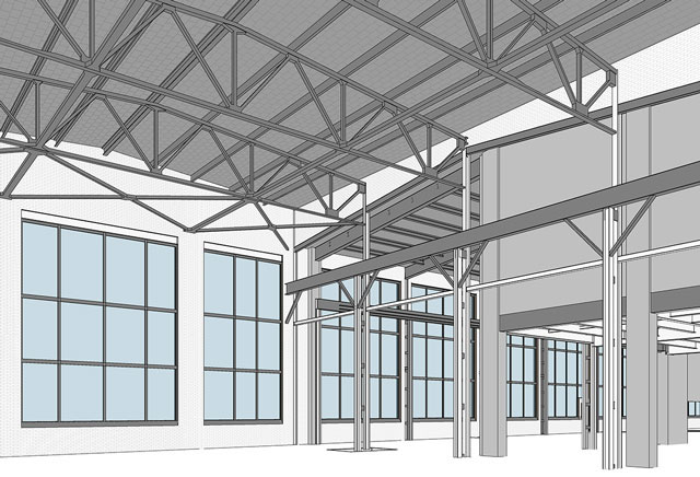 Industrial Spaces
-
 Power Stations
-
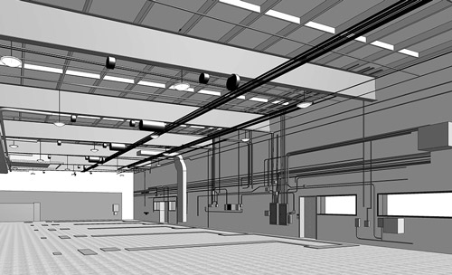 MEP for Clash Detection
-
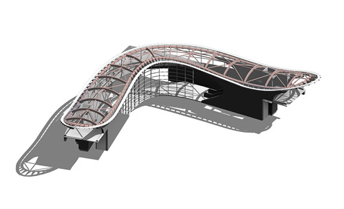 Complex Building Geometry
-
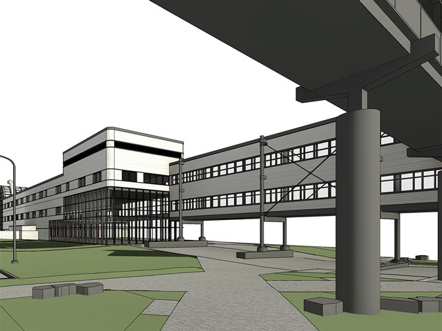 University & College Campuses
-
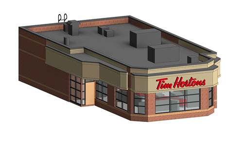 Retail Buildings
-
 Institutional Facilities
-
 Datacenters
-
 Heritage & Preservation
-
 Processing Plants
-
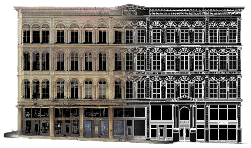
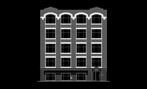 Building Elevations
- Key Benefits of High Definition Laser Scanning
- Dimensional verification of existing conditions result in fewer design errors and change orders
- Posession of "Digital Twin" results in fewer site visits required by technicians and personnel
- Clash detection and deviation analysis of design/construction model vs. actual site
conditions
- Point-in-time digital archive of facility for future reference and interrogation
- High-detail, high-precision imaging for fabricators and installers
- Import directly into Revit, Autocad, Civil3D, Navisworks, Archicad, Microstation, Rhino, Solidworks and more
- Free, standalone point cloud viewers including Autodesk Recap, Scene Light, Cloud Compare etc.